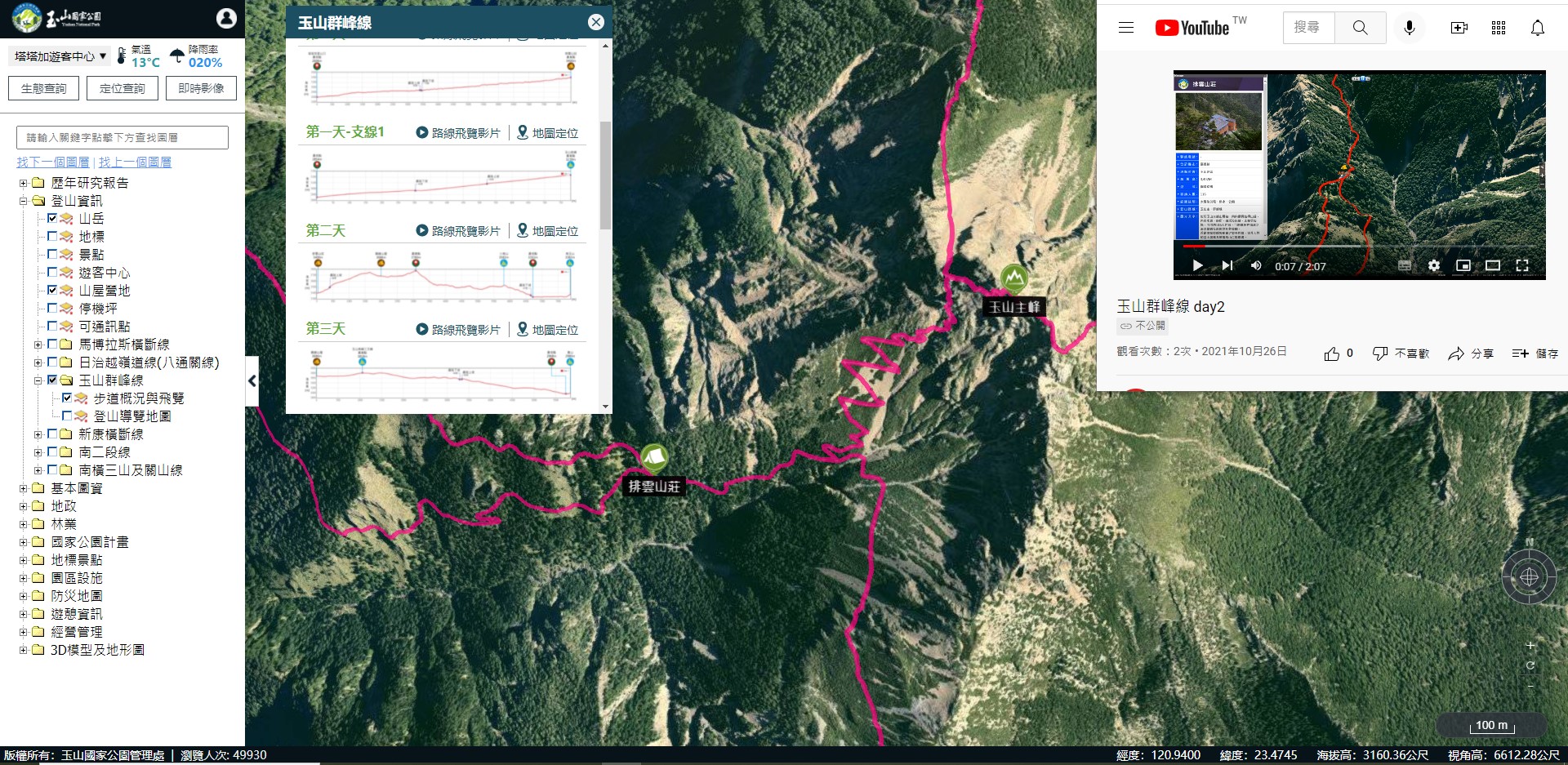
The Yushan National Park Headquarters built a 3D map based on high-precision aerial photography images over the years. It has recently been revamped and officially launched! This map is a geographic information platform for 3D terrain display that comes with Chinese language settings, user intuitive operation, excellent streaming speed, and authentic display of terrain changes as the base map design concepts. Visitors only need to use browsers such as Chrome or Firefox to access the map; no additional components need to be installed. To visit the map, first enter theYushan National Park Headquarters website. From the homepage, click on the icon of theYushan 3D Map, or go directly to thewebsiteand personally experience the map.
It provides information on hiking, such as the changes in the organization of the Headquarters, the history of Paiyun Lodge, the geological beauty of Yushan on a themed map, and the records of small farmers at the foot of Yushan. Print publications are presented in the form of spatial information, so that people can experience the changes in time and space.
The Yushan 3D Map has a user-friendly interface and it is easy to operate. Members of the public are welcome to experience a brand-new virtual online tour of Yushan.


![Text size [Small]](/media/system/images/font_small.jpg)
![Text size [Medium]](/media/system/images/font_normal.jpg)
![Text size [Large]](/media/system/images/font_big.jpg)


